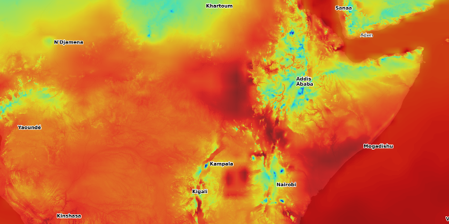
Our innovative climate data API is a cutting edge solution designed to empower you in understanding and visualising climate risk. The API provides on demand access to a growing range of past and future climate data.
 The API offers real-time filtering and aggregation to deliver the data you need at the granularity you want. … no more downloading gigabytes of data just for one aggregate, time series or map of averages. This is particularly useful as users usually refine their query only after seeing the data.
The API provides global coverage for any location on the earth’s surface. The output format of CSV can be easily selected to make loading your data into a spreadsheet a snap; or a time series plot image you can put directly into a report; or JSON to load into your development environment.
The API provides a range of base parameters like temperature, humidity, precipitation and wind speed. The API can also generate derived parameters on demand such as dew point temperature or even the Koppen climate classification.
 Threshold analysis is trivial with the API offering a range of threshold functions and the real time nature allows the user to experiment to find the most informative threshold values.
The API delivers frequency analysis to examine the occurrences of different values. This is particularly useful in extreme event analysis.
All this is accessible through a web browser so your tablet or even your phone can be your climate data workstation.

It is finally here! The European Centre For Medium Range Weather Forecasting Re-analysis version 5.
So how big is it? Well, there are 266 single level indexes like 2m temperature but then another 11 indexes with 37 pressure levels in the atmosphere like temperature 1000hPa. For either of these, there is a data point every quarter of a degree of latitude and longitude on the earth and for every hour of every day since 1940 up to a rolling 3 months ago. So that makes about 2 quadrillion data points (think about that). Unfortunately that adds up to over 4 petabytes so we are not offering it all in one go. However, we can rapidly load the part of the data of most interest to you and make it queryable through our ground breaking API.
Climate Data Service uses Google Analytics which in turn uses cookies when analysing traffic. You can adjust your privacy controls anytime in your Google settings.
Learn more OK